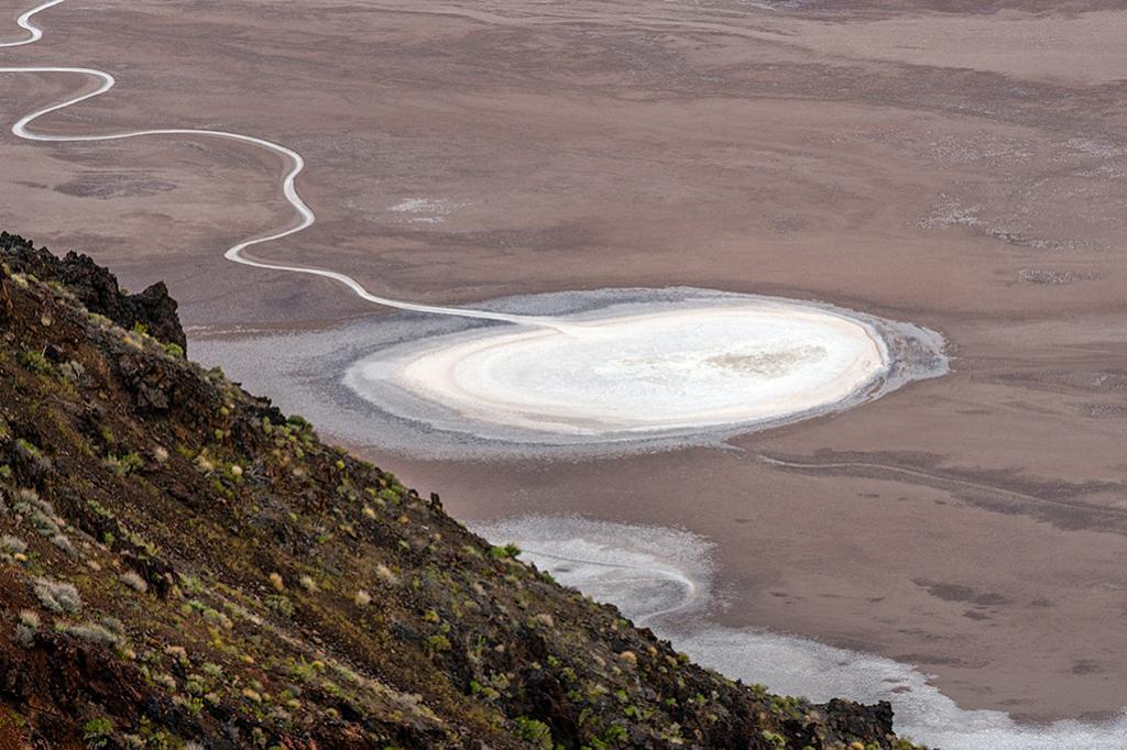
“The source of Badwater’s salts is Death Valley’s drainage system of 9,000 square miles—an area larger than New Hampshire. Rain falling on distant peaks creates floods that rush ever lower. Along the way, minerals dissolve from rocks and join the flood. Here, at the lowest elevation, floods come to rest, forming temporary lakes. As the water evaporates, minerals concentrate until only the salts remain. After thousands of years, enough salts have washed in to produce layer upon layer of salt crust.”
A Telephoto Shot Of A Death Valley Salt Pan In The Badwater Basin Area, Death Valley National Park
Rebecca Latson
Thursday, June 8, 2023

Support Journalism about National Parks!
National Parks Traveler is a 501(c)(3) nonprofit.
The Essential RVing Guide

The National Parks RVing Guide, aka the Essential RVing Guide To The National Parks, is the definitive guide for RVers seeking information on campgrounds in the National Park System where they can park their rigs. It's available for free for both iPhones and Android models.
This app is packed with RVing specific details on more than 250 campgrounds in more than 70 parks.
You'll also find stories about RVing in the parks, some tips if you've just recently turned into an RVer, and some planning suggestions. A bonus that wasn't in the previous eBook or PDF versions of this guide are feeds of Traveler content: you'll find our latest stories as well as our most recent podcasts just a click away.
So whether you have an iPhone or an Android, download this app and start exploring the campgrounds in the National Park System where you can park your rig.
Add comment