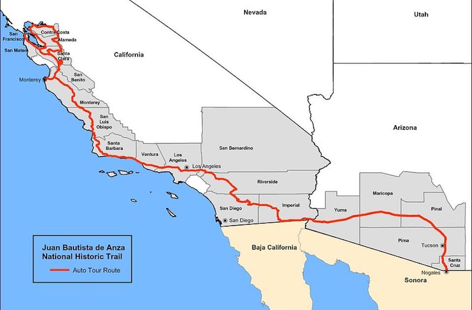
Map tracing the Juan Bautista de Anza Historic Trail/NPS
Juan Bautista de Anza was a determined Spaniard who was tasked with creating the first non-Native settlement on San Francisco Bay. He did it by leading more than 200 men, women, and children from Mexico to the Bay Area. During the next three months, you can hike a short, four-mile stretch of the trail in Arizona and have a shuttle ready to take you back to your rig.
The Juan Bautista de Anza National Historic Trail today commemorates, protects, marks, and interprets the route traveled by Anza during the years 1774 - 1776. Starting in Sinaloa and Sonora, New Spain (which is now in Mexico), he led more than 240 settlers to San Francisco to establish a mission and presidio there.
The trail invites travelers to experience the interweaving of the three elements of the Spanish plan for the colonization of its northern frontier: presidios (military forts), missions (religious centers), and pueblos (civilian towns). By following the trail, it becomes easier to grasp the links between the presidios of Tubac, Santa Barbara, and San Francisco, and to see patterns in the location, construction and use of Spanish Missions
During January, February, and March, staff at Tumacácori National Historical Park in Arizona will offer hikers the opportunity to walk the four-mile stretch of the trail between Tumacácori and Tubac Presidio State Historic Park, catching a free ride back to their starting point. Hikers can begin at either end of the trail. Between 8 a.m. and noon on the second Sundays of January, February, and March the park will provide a continuously running shuttle between the trailheads.

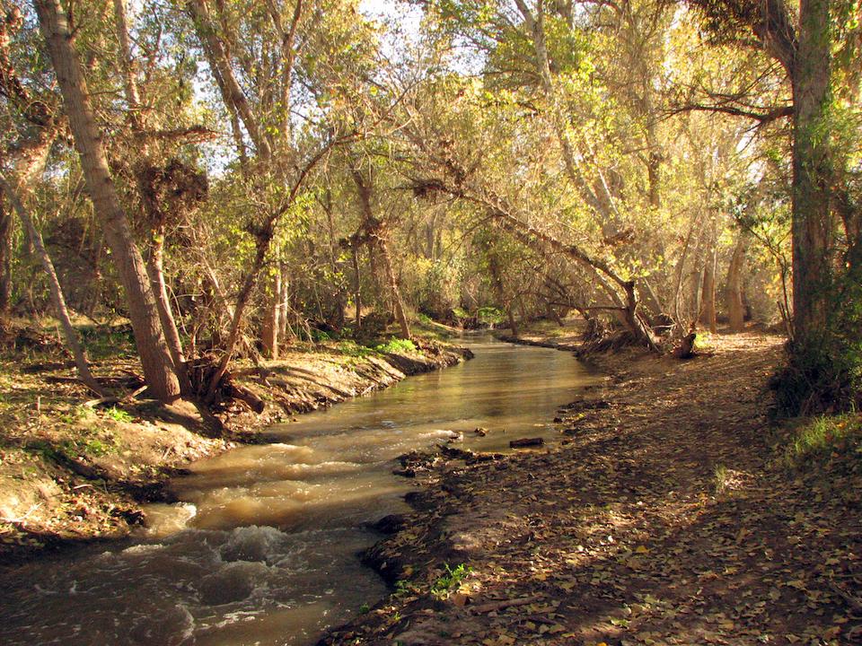
A section of the trail along the Santa Cruz River at Tumacácori National Historical Park
Spending time outdoors confers many well-documented health benefits including mental, physical, and social well-being. Participants hiking park-to-park will tally up nearly 13,000 steps and earn their “I Hike for Health” pin.
Trail conditions may vary throughout the season. If sections between Tumacácori and Tubac are impassable, the shuttle may run between Tumacácori and the trailhead on Palo Parado. The four-mile stretch of Anza Trail is mostly level and shady. But you should wear good walking shoes, dress for the weather, and carry water and snacks.


Add comment