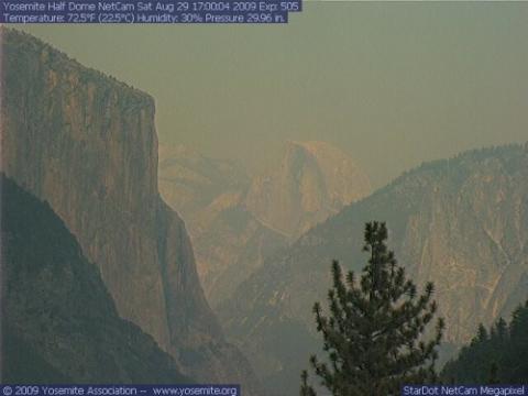
Fire bosses predict that it could take nearly two weeks before they'll have the Big Meadow Fire in Yosemite National Park contained.
The fire, which had spread to more than 3,500 acres by Saturday afternoon, started out intended to be a 90-acre prescribed burn. But shortly after it was started on August 26 it quickly jumped the fire lines. Since that inauspicious start the fire has led to the evacuations of the communities of Foresta and Old El Portal, the closures of the Crane Flat Campground and the Tamarack Flat Campground, and closure of the Big Oak Flat Road at Crane Flat south to the junction of the El Portal Road.
Additionally, the fire has led to the following trail closures: the Old Big Oak Flat Trailhead to El Capitan, Rockslides to El Capitan, Tamarack Creek to El Capitan.
At last report the fire was 30 percent contained, and full containment is not predicted until September 10. There are 900 firefighters battling the blaze, which is located in the southwestern corner of the park just two miles east of El Portal.


Comments
I do not want to second guess the Park Service in their decisions - particularly at 800 miles from the scene.
On the other hand, a prescribed burn in Yosemite - in late August?
On the surface it would seem, as the fire "....quickly jumped the fire lines" that something in this plan went awry - possibly BEFORE the burn even started.
Could we get some more clarification on just what went wrong here? I live in the Black Hills National Forest, and am familiar with Yosemite as well - it's such a tragedy when fire strikes, and even more so when the cause is man, with the best of intentions!!!!!